Territorial Engineering
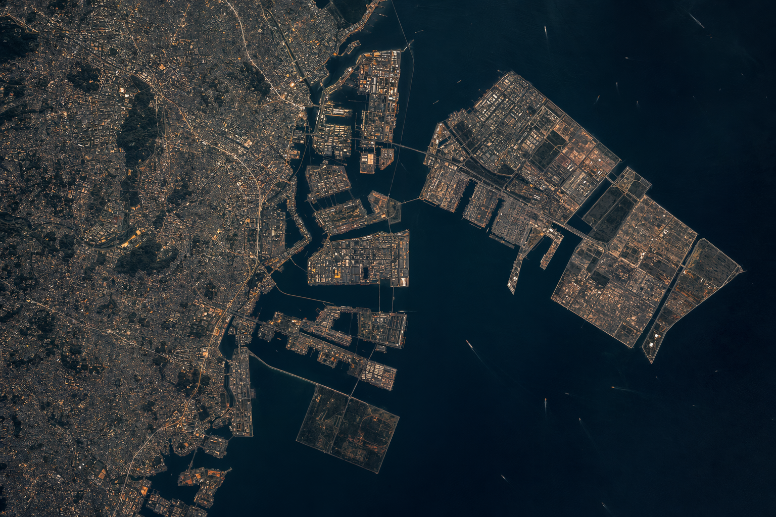
The Netherlands lives behind 3,500 kilometers of levees and dikes on land a quarter of which sits below sea level. Singapore has added roughly a quarter of its total area since independence and continues to reclaim. Japan landed its second-largest city’s replacement airport on a purpose-built island in Osaka Bay. Denmark is building a new district on reclaimed fill at the mouth of Copenhagen harbor. China built seven new islands in the Spratlys in under three years.
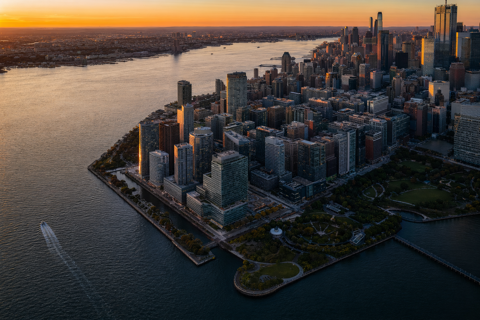
The United States built Battery Park City in the 1970s and has not attempted a project at that scale on new fill since.
This gap is not a physics gap. The engineering to build coastline exists, operates at scale, and has been demonstrated on projects an order of magnitude larger than anything the United States has attempted in half a century. What has atrophied is capacity, permitting throughput, and the institutional conviction that extending territory is a valid exercise of engineering at all.
This corpus maps the full problem: the physical constraints that any coastal project inherits, the engineering operations that convert sediment into territory, the industrial base that executes them, the precedents that show what scale looks like, the permitting and financial architecture that turns a fill body into a going concern, and the specific application to Florida as the US case with the most concentrated coastal exposure and the most direct demand for the work.
The central engineering question throughout is: how is new coastline actually produced, and what determines whether it can be done well at scale?
Frame
Why this is a design variable and how to talk about it without drift.
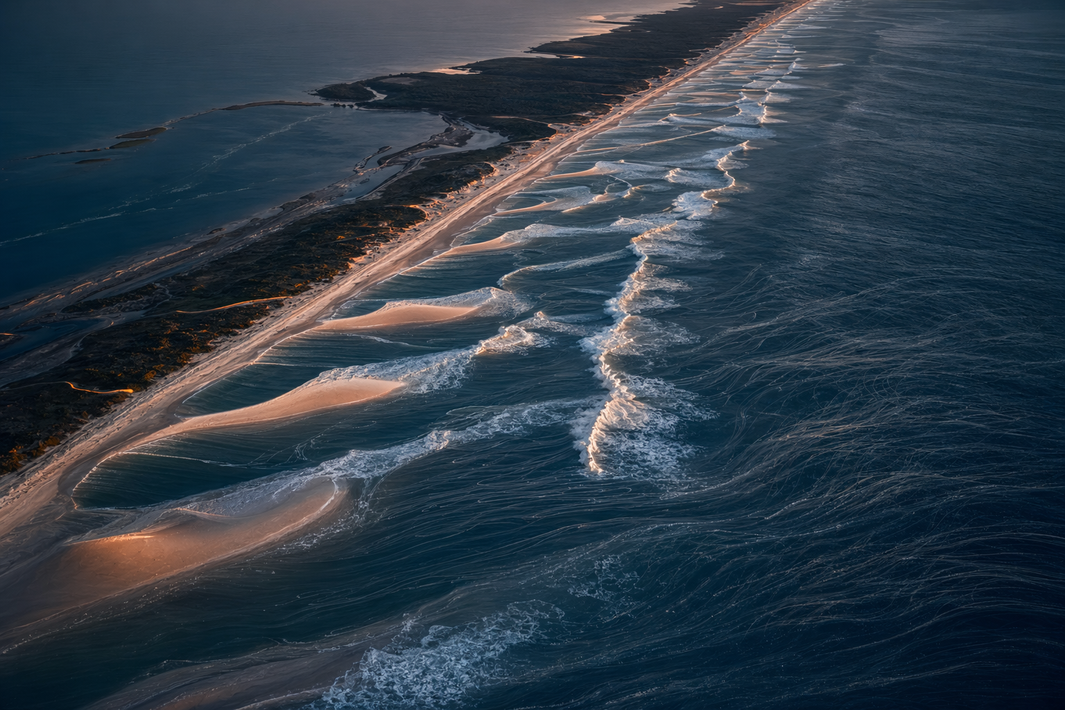
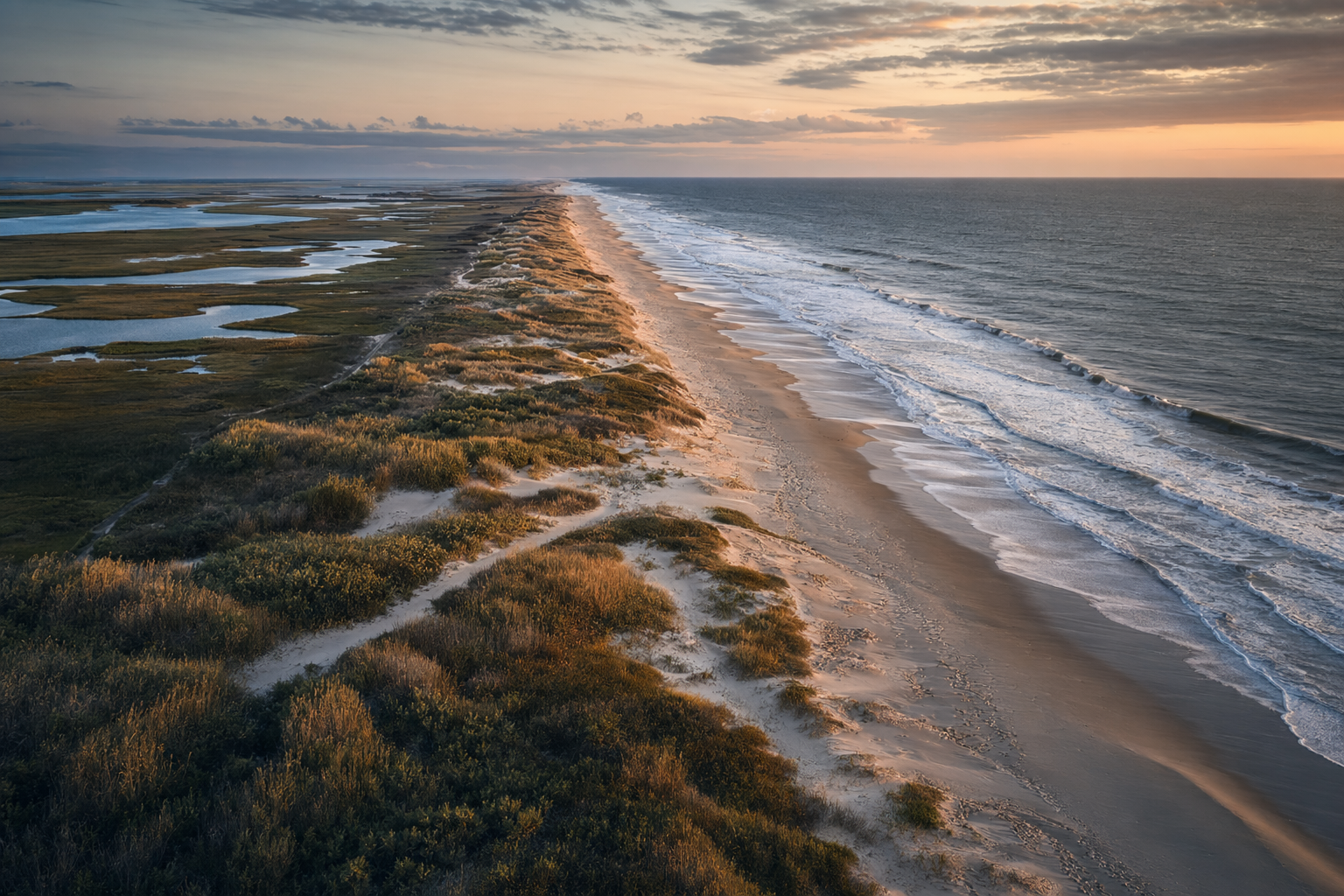
Physical System
The boundary conditions any coastal project inherits.
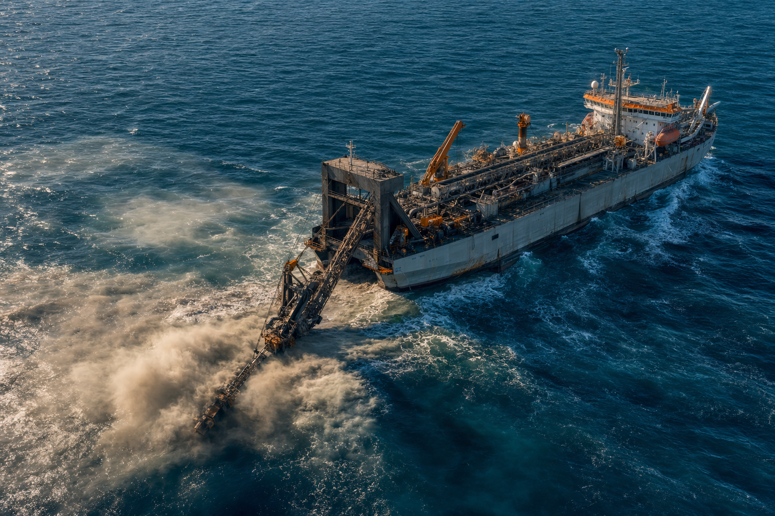
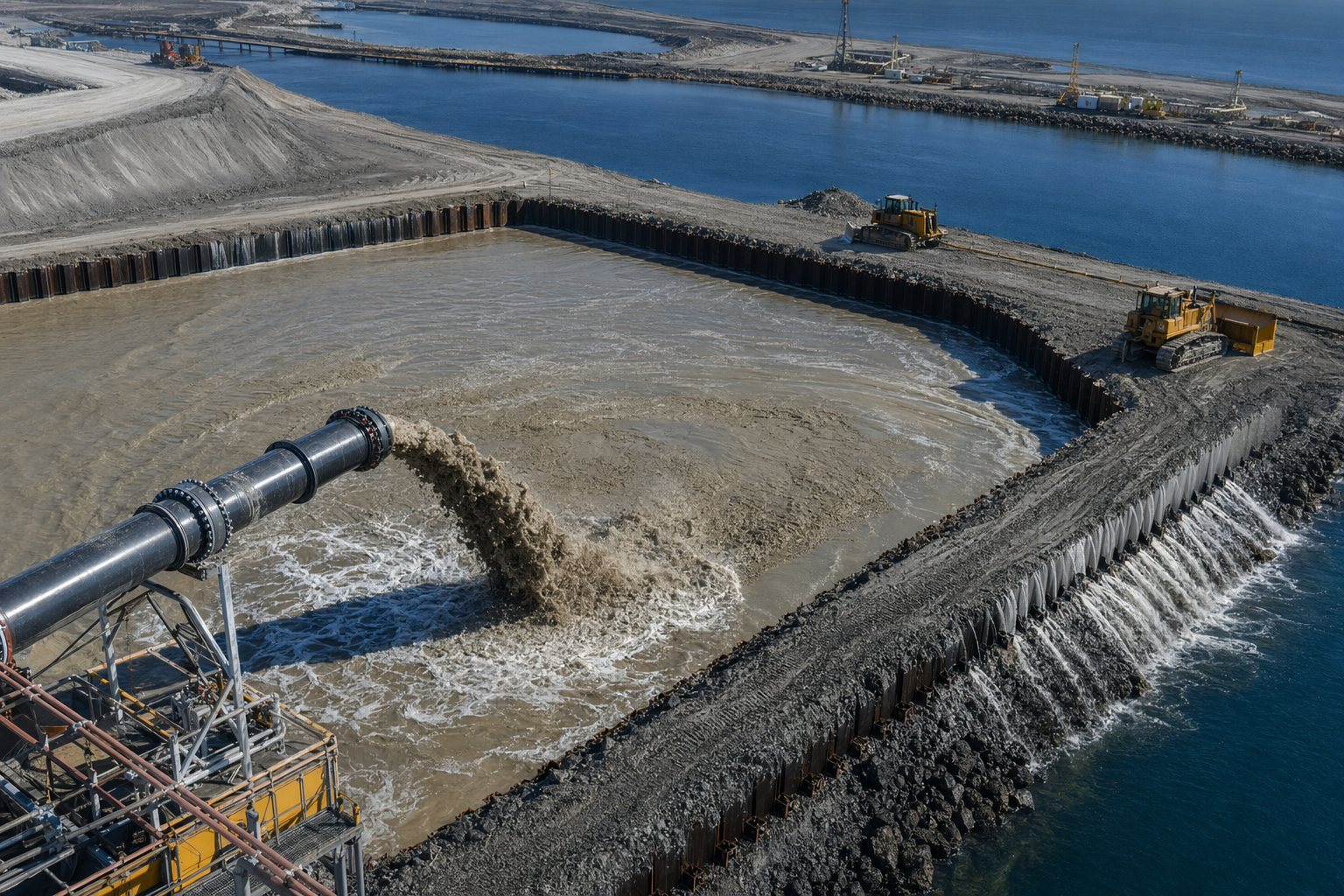
Engineering Craft
The operations that convert water into territory.

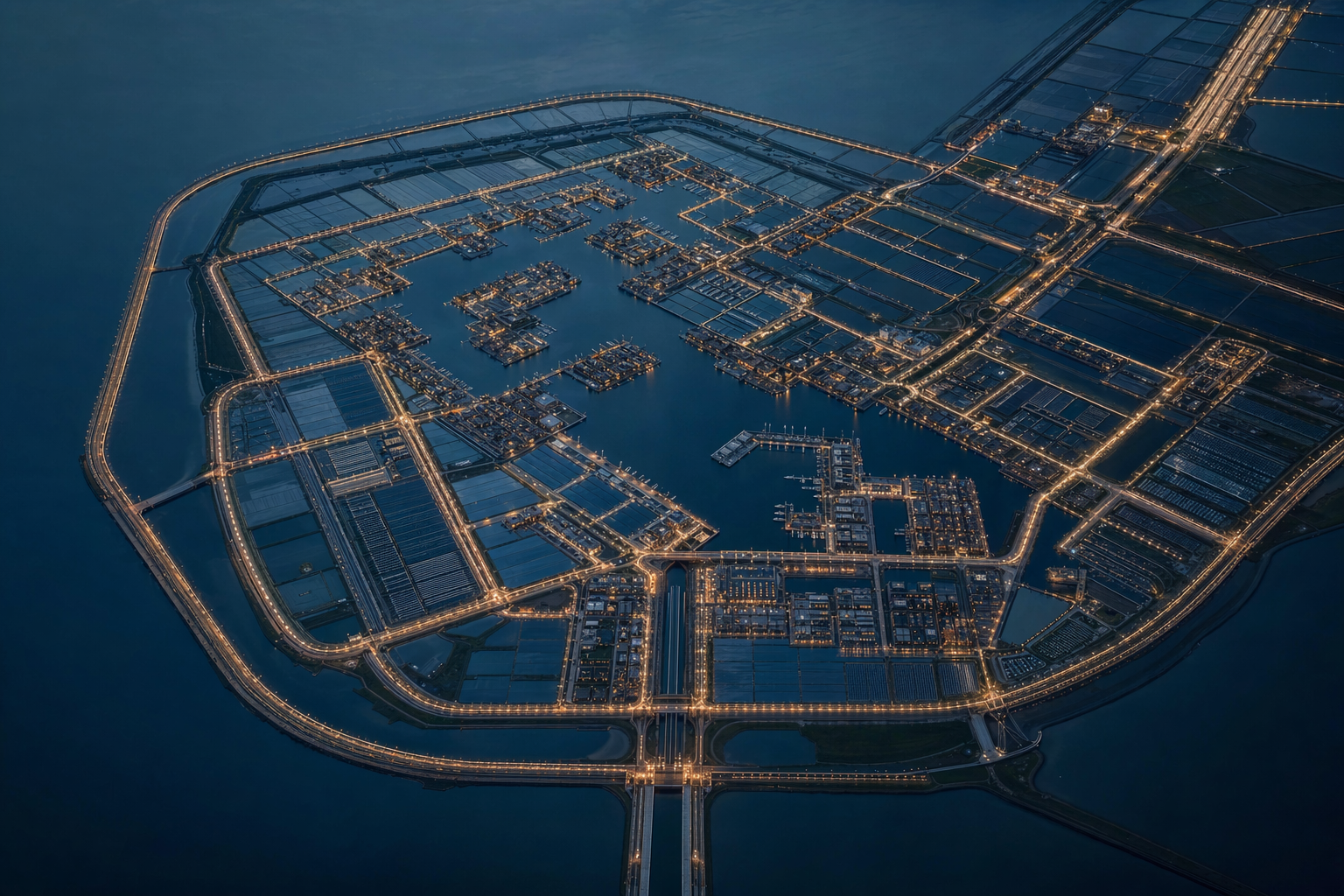
Precedent
Built projects at strategic scale.
Economics and Institutions
The architecture that turns fill into a going concern.
Application
Florida operationalized.
Synthesis and Horizon
The path forward.
Reading Paths
General readers. The Map Is Not Sacred then Florida Case Study then Beyond Coastline. The thesis, the concrete application, the horizon.
Engineers. Coastal Morphodynamics then Reclamation Methods then Storm Surge and Sea Level then Industrial Base then Engineering with Nature. Physics, methods, design storms, industrial capacity, soft engineering.
Founders and operators. The Map Is Not Sacred then Global Precedents then Economics and Value Capture then Roadmap and Ecosystem. The opportunity, the proof that it works, the financial architecture, the ventures.
Policy readers. Industrial Base then Institutions and Permitting then US Precedents then Roadmap and Ecosystem. The capacity gap, the permitting stack, what the US has done before, the policy sequence to restore capacity.
Florida readers. The Map Is Not Sacred then Sediment as Infrastructure then Risk and Insurance then Florida Case Study. The thesis, the sand problem, the insurance crisis, the operationalized regional plan.
Prior paper
The industrial-base numbers, policy tiering, and capacity-gap analysis in this corpus draw on a paper I wrote in October 2025: Building America’s Coastal Engineering Base: Competitiveness, Resilience, and Security through World-Class Dredging and Sediment Management (PDF, 18 pp). It’s the reference behind every “Florez (2025)” citation in the essays.